Travel - Eastern Transvaal
Pilgrim's Rest to Ohrigstad
Introduction
This was a project that Ray and I were working on, but unfortunately, corona got in the way and took Ray from us. I have no idea what happened to all his photos, so I will try to improvise using only my photos.
For this trip we will use the Joubert Bridge crossing the Blyde River on the northern side of Pilgrim's Rest as a starting point. What we are trying to show is that you don't need to follow the main tourist roads to find interesting sights.
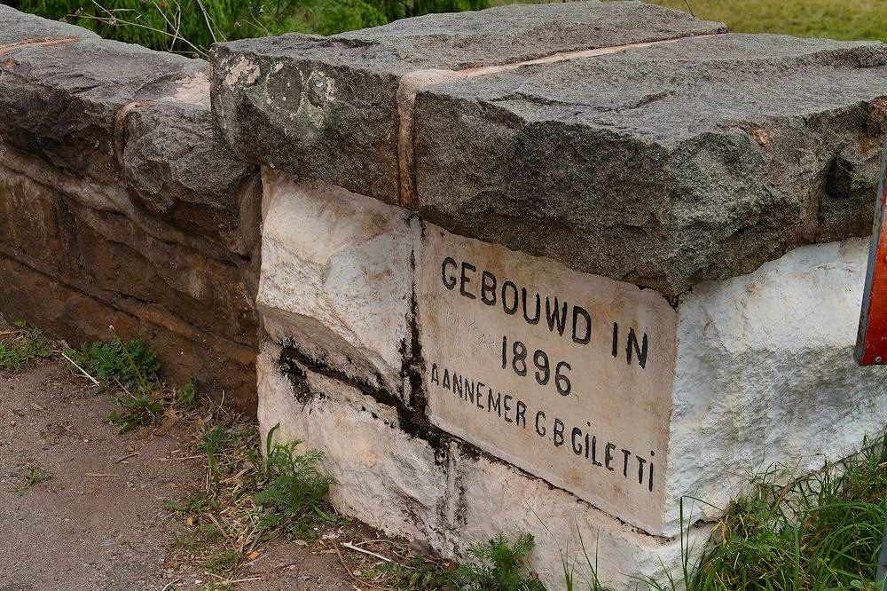
The cornerstone of the Joubert Bridge
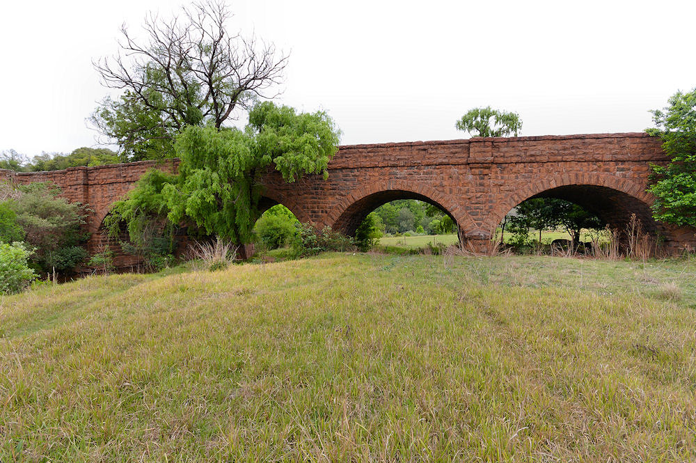
The Joubert Bridge
Pilgrim's Rest has an interesting history as it was a boom town after gold was discovered in the 1870s. The village became a national monument in 1986, but unfortunately, it has become a "curio" sellers paradise, and with that, the loss of the old charm that the powers that be were trying to create when making it a national monument.
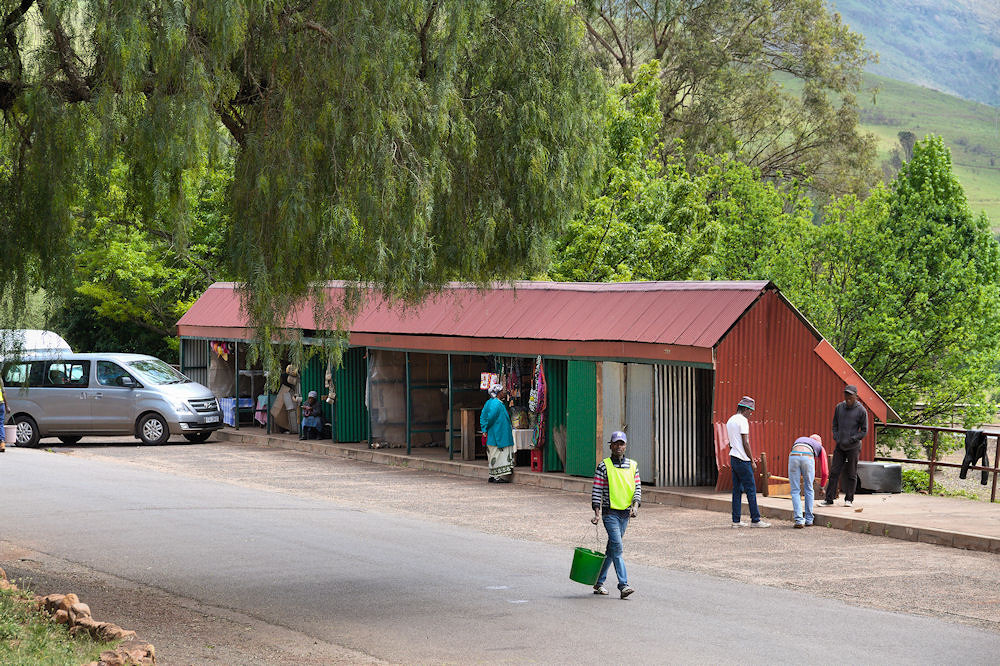
Curio Sellers
(updated: 23 May 2023)
The Railway in Pilgrim's Rest
An interesting fact about Pilgrim's is that it was one of the first towns in South Africa to be electrified, supplied with power from several hydro-electric plants during the heyday of the town. I am most interested in the Belvedere plant near Bourke's Luck. This plant supplied power to the mine, the town and a railway. Instead of showing the village, I want to rather concentrate on the railway, which is overlooked in many discussions around the village. I have found one web-based article, which briefly alludes to the railway, and does give some interesting history.
The following picture of the train [1] pulling ore trucks was taken some time in the early 1900s [2].
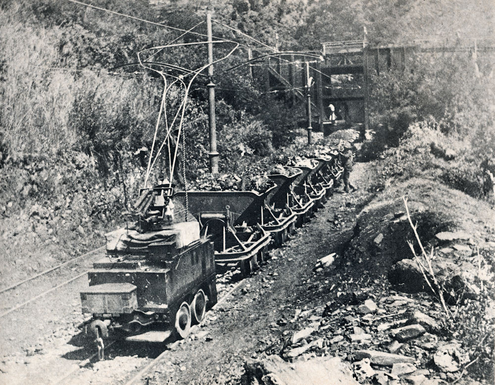
An ore train
On the south side of the Joubert Bridge, you can see the old tracks crossing the road. On the west side of the road, you can still see some of the remaining pylons heading towards the mine.
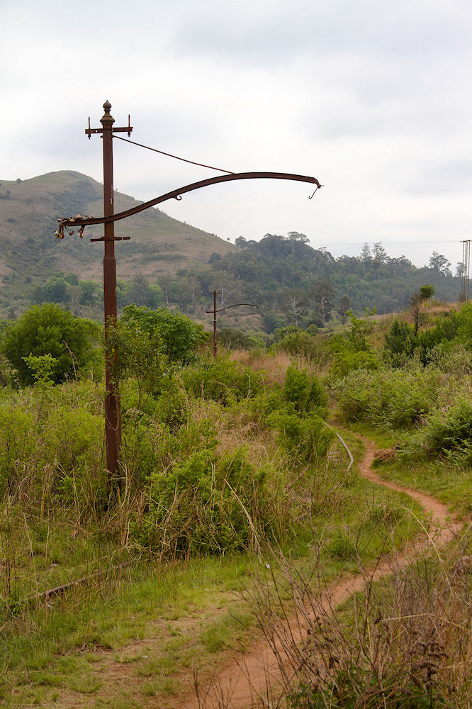
A pylon with its stanchion for the overhead line to power the locomotive
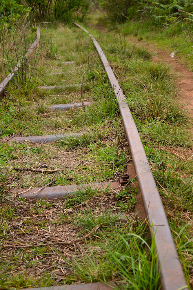
Old tracks
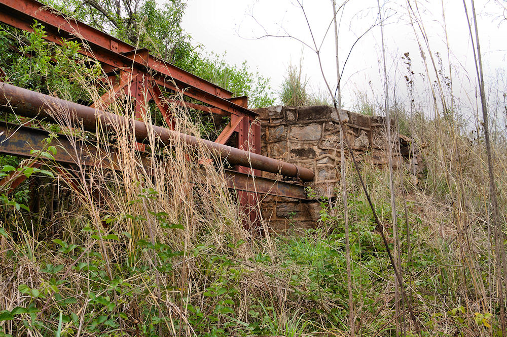
The eastern side of the road has some more interesting things to see. A short distance from the road, you come to a girder bridge crossing a tributary of the Blyde River.
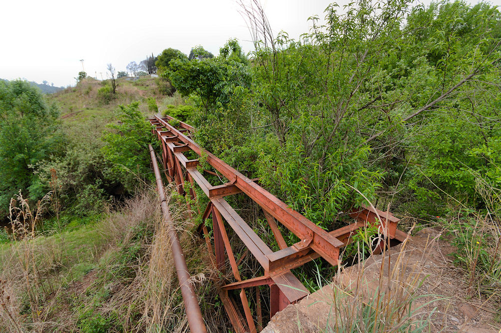
A girder bridge
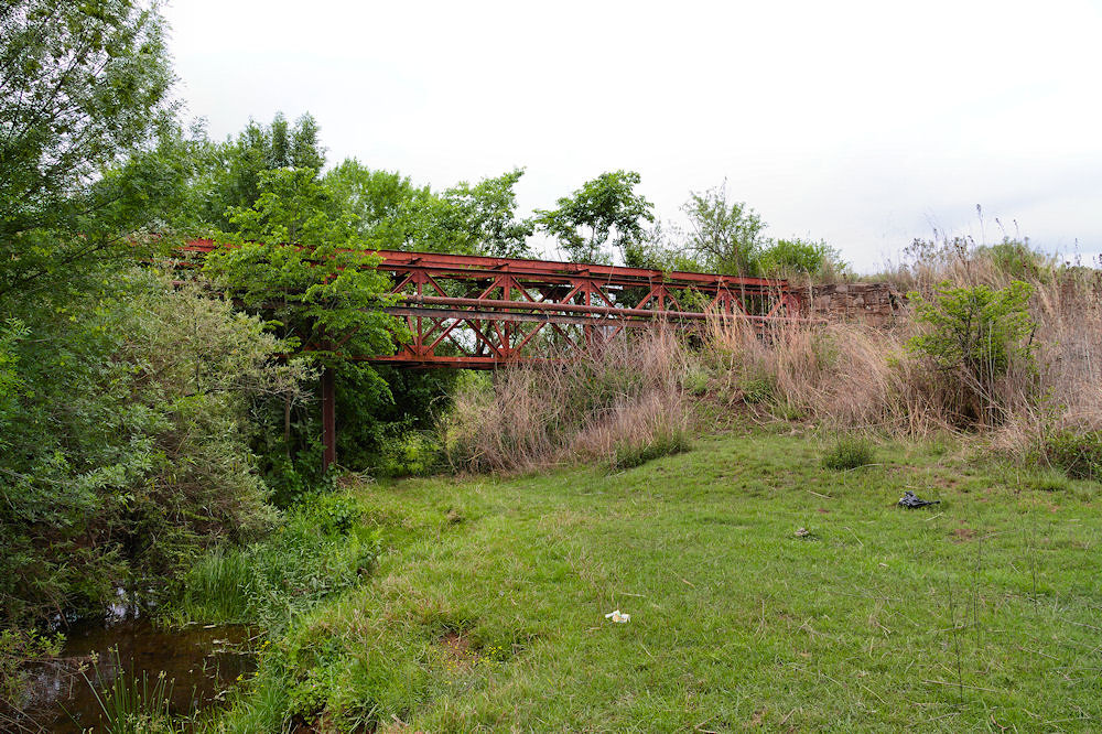
Another view of the girder bridge
A closer view of the construction on the girder bridge
What is amazing about this is that every bolt, piece of metal and bag of cement used in constructing the infrastructure of Pilgrim's Rest had to be transported by ox-wagon from either Lydenburg or Lourenço Marques (Maputo) in Portuguese East Africa (Mozambique)! [3]
(updated: 23 May 2023)
Pilgrim's Rest to Vaalhoek
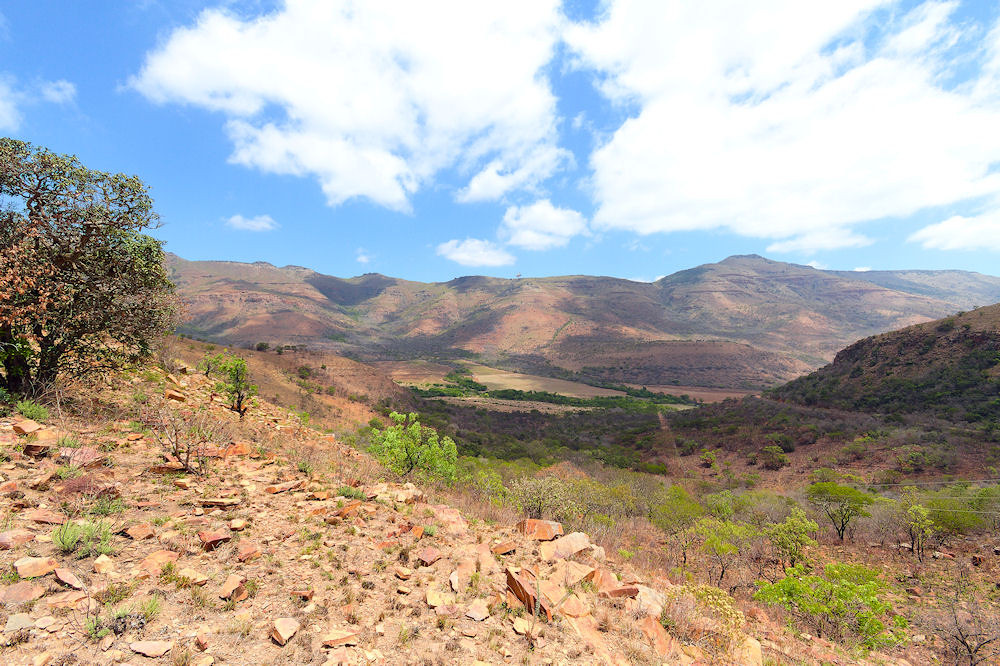
After crossing the Joubert Bridge towards Bourke's Luck, instead of continuing with the R533 up Robber's Pass towards Lydenburg, take the gravel road which follows the Blyde River. This road criss-crosses the Blyde River all the way to Bourke's Luck which makes the scenery all the more interesting. What also makes it quite special is that there is very little traffic, which allows you to stop and take pics whenever you see something that interests you.
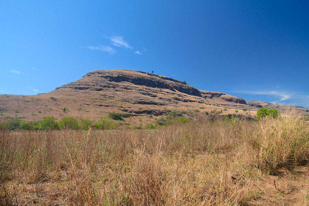
Scenery
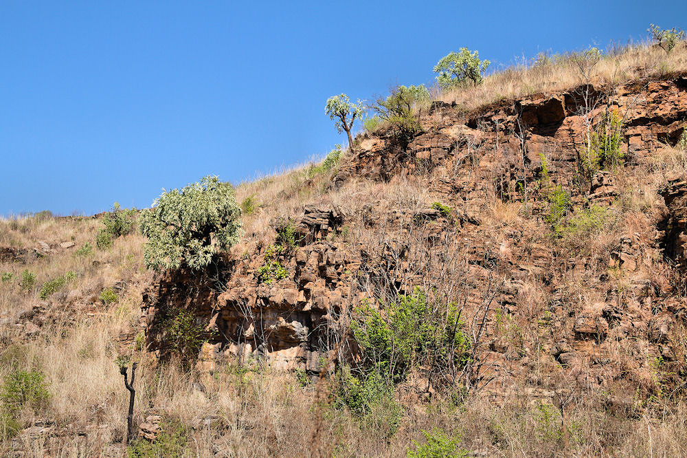
Scenery
Scenery
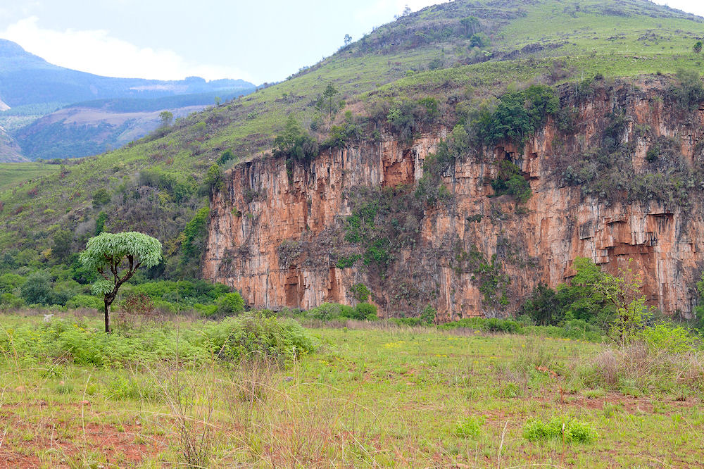
Scenery
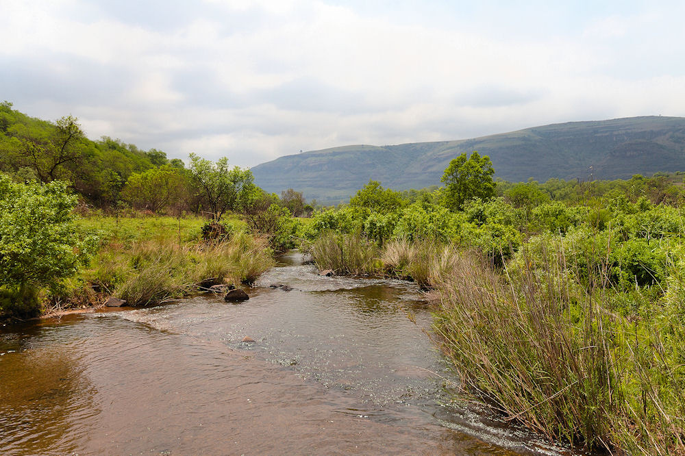
Blyde River crossing
Blyde River
Scenery
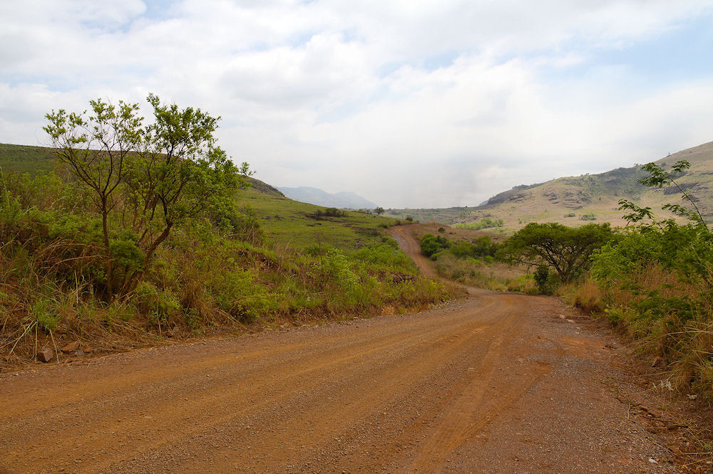
As you can see, the road was in reasonable condition when we passed through.
Along the road, you will find many remnants of the old power line which ran from the Belvedere power station at Bourke's Luck to Pilgrim's Rest. Unfortunately, almost all of the cables, and many of the pylons, are no longer there [3].
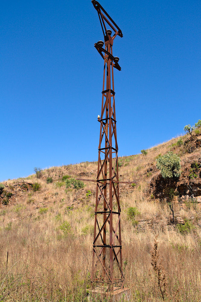
A pylon
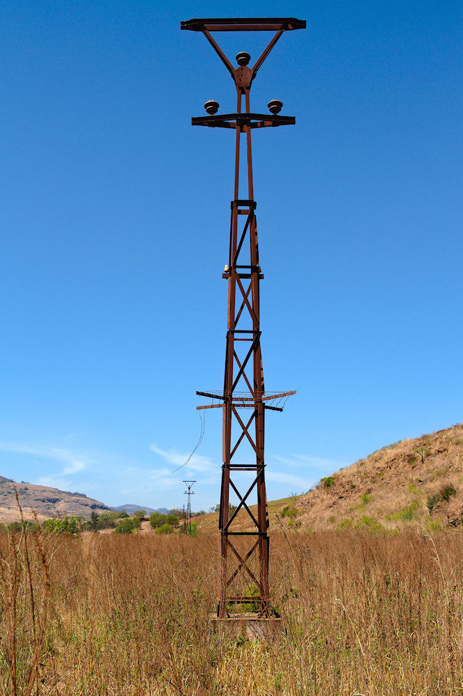
More pylons
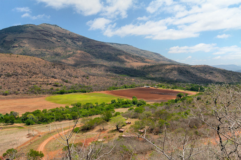
About 20km from Pilgrim's Rest you reach the farm Vaalhoek. We have hiked hundreds of kilometres in this area, and to me, if I was a farmer, this was where I would want to be. The setting is absolutely stunning and the farm was beautifully kept. Unfortunately, this is no longer the case. Whether this is part of the South African government's Restitution of Land Policy or due the farmer just abandoning the farm, I cannot say.
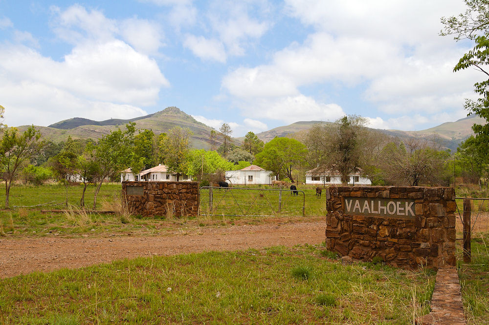
The entrance to the Vaalhoek farm
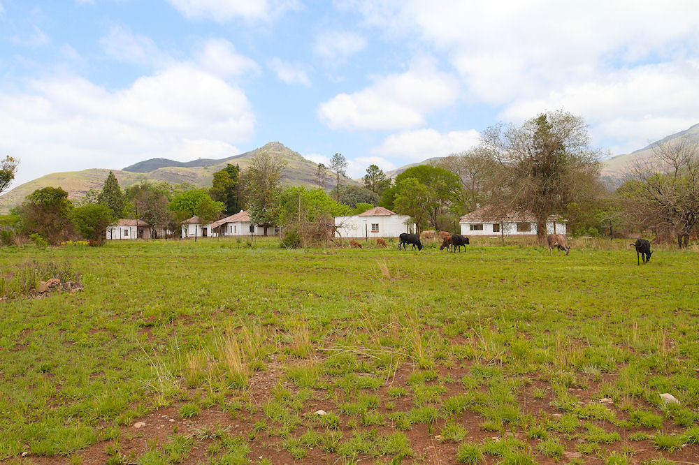
A closer look at the farmstead
These few head of cattle were all we saw of farming activity. There seemed to be someone staying in one of the houses, but the rest were derelict.
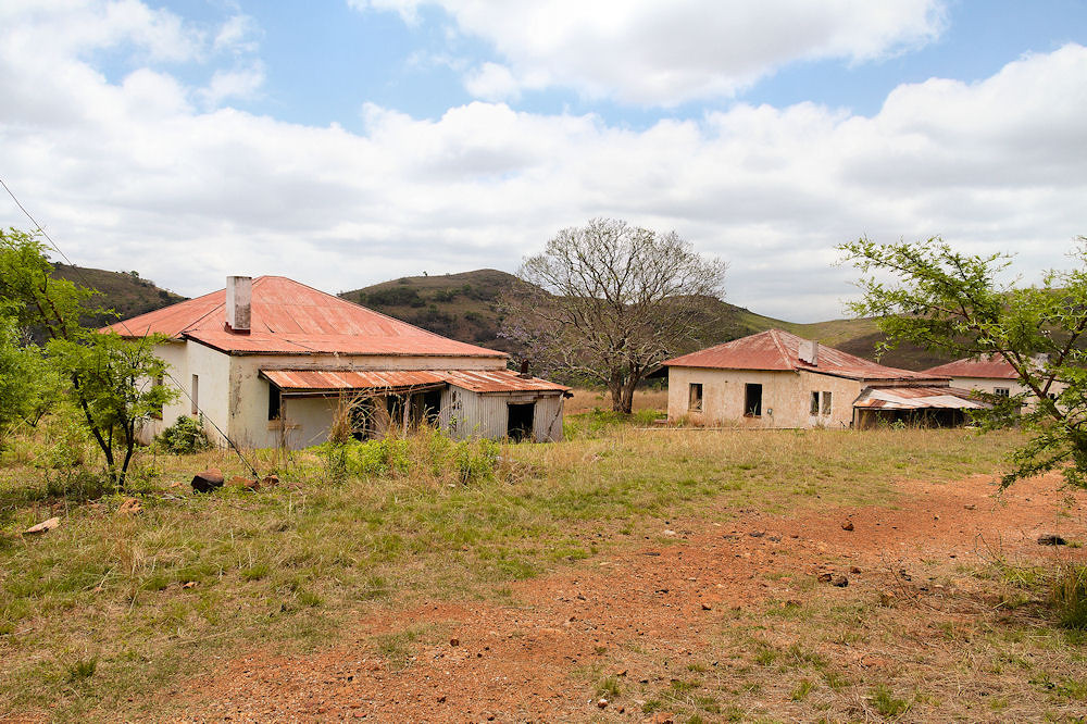
Derelict and scavenged houses on the farm
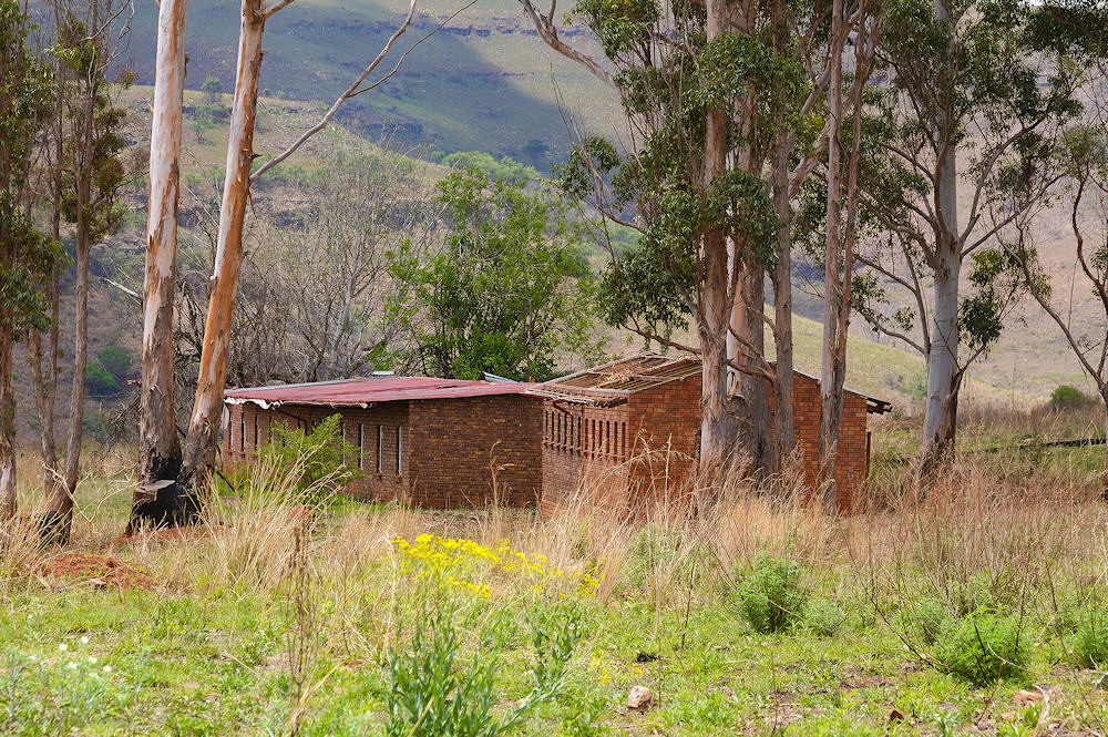
Livestock sheds
As you can see from the pics, the farm is now derelict. Judging from the number of cottages, many people once lived here and these people are now unemployed.
(updated: 21 June 2023)
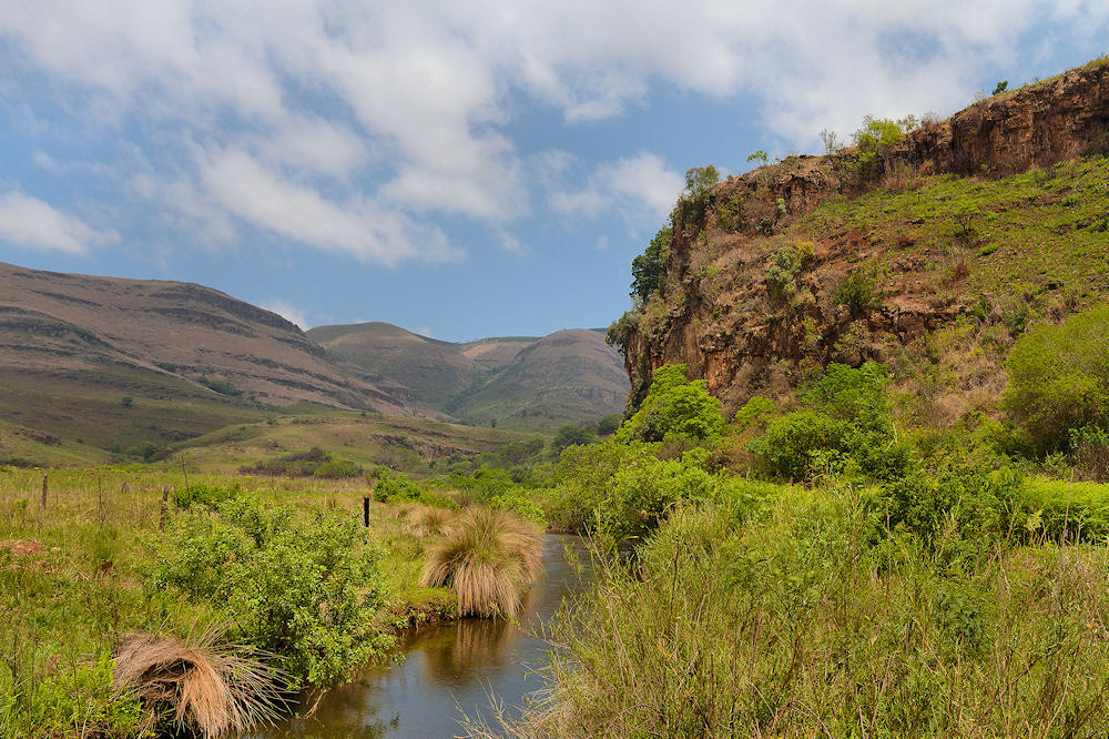
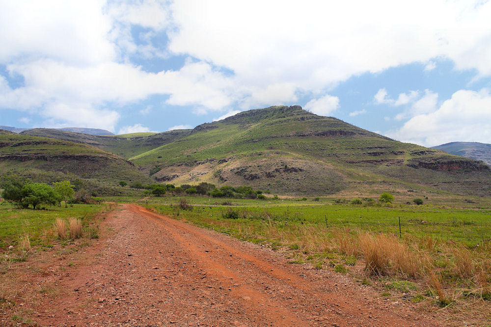
Vaalhoek to Ohrigstad via Casper's Nek Pass
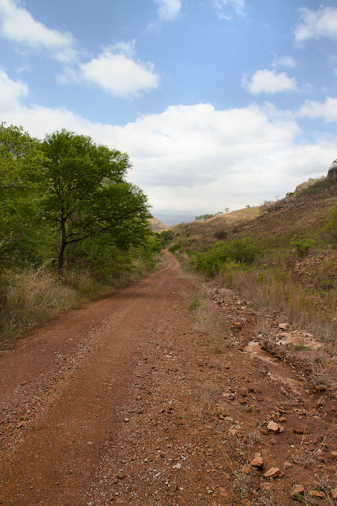
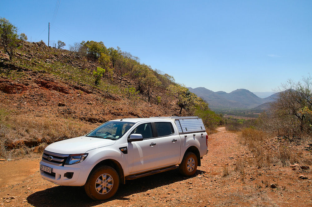
A short distance from the Vaalhoek farmstead, there is a turn-off to the left. This is the road over Casper's Nek Pass. The road might not be suitable for a normal sedan, but any vehicle with a decent clearance should have no problems.
The road crosses the Blyde River and travels parallel to it for a while - this could be tricky if the river is in flood. Once the road turns away from the river, the incline up to the pass begins. It is not a difficult climb, but road conditions could be a problem in the wet or after wash-aways from heavy rain.
The start of the climb to Casper's Nek
Although it doesn't look like it, this is the start of the climb up to the pass as you leave the Blyde River.
At Casper's Nek
This is looking back down the pass towards the Blyde River from Casper's Nek. As you can see, this side of the pass is not very demanding, but as I mentioned, this will definitely depend on the condition of the road.
The view to the west is a bit more interesting. The road meanders down to the river valley with one hairpin, but again, this is not a difficult drive.
Looking north west from Casper's Nek
There is plenty of farming activity in these valleys, I have a feeling that this is to do with the policies of the provincial governments. The valley is the border between the Mpumalanga and Limpopo Provinces.
A bit further down the road
Along this road there are many fruit orchards and from what I can gather is that these are mainly citrus orchards. What is almost surreal to me is that the farmers have put up awnings (I am not sure whether this is the right word) over the trees, to protect them.
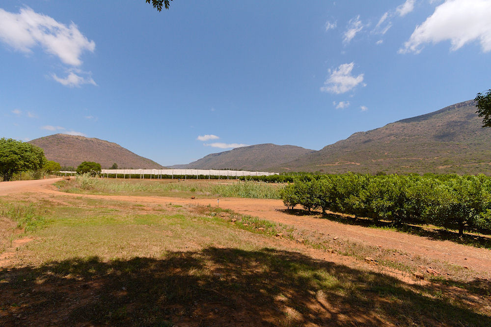
Awnings over the fruit trees
If you look at a Google map's satellite view of this area, you will see many of the orchards are covered. In spite of the cost, I can understand this - Pat's uncle farmed in this area in the late fifties or early sixties and his trees got hammered by hail for three years in a row, just before harvest time, which bankrupted him.
Along the road, there is a turn-off to the north in the vicinity of Kaspersnek Orchards which will take you to the R36 to Ohrigstad. This road is not marked, so you will more than likely miss it (as we did). Why this road is of interest, is that a farmer on this road had a 4x4 trail down the mountains to the R532 near the Blyde River resort. As far as I know, this trail is no longer active but the 4x4 trails website, Tracks 4 Africa, still shows it.
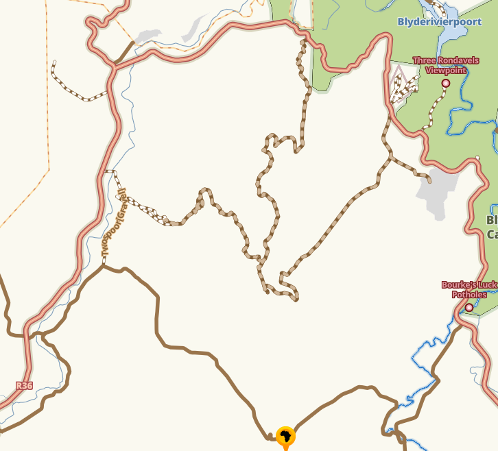
Tracks 4 Africa map of the area close to Casper's Nek
What was very interesting on the gravel road southwards towards Ohrigstad is that it seemed as though the farmers, and not the provincial government, were fixing the road towards Ohrigstad.
In Ohrigstad itself, there was a very nice little pub next to the Caltex garage on the southern side of town called the Lamb and Ale. Unfortunately, this pub is now registered as "permanently closed" on Google map reviews. Another victim of the Corona Lockdown I am sure.
There is really not much else of interest in the town. If you are feeling a bit more daring, you can try the 4x4 trail in the Ohrigstad Dam Nature Reserve just off the Robbers Pass.
(updated: 25 June 2023)
Notes and references
[1] The train is usually referred to as a tram, but to me an electric locomotive pulling ore trucks is a train.
[2] Pilgrim's Rest - A Pictorial History. The Transvaal Provincial Library and Museum Service. (1980). (from numbered copy 1513)
[3] A great deal of the metal has been "salvaged" by the locals for scrap metal.
